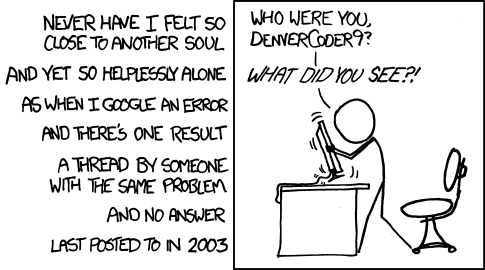
Hi,
I have submitted the package maptools (the file is maptools-0.1a.zip). The
archive contains the source ready to compile. I have tested everything on
windows 98 and NT and haven't found any major bugs (yet). It should work
on lin/unix as well but I don't have easy access to a machine to test
it.

Of interest might be the functions dbf.read and dbf.write.
Also there is a function to read ESRI shapefiles, which is stored as a map
object. I am still developing the map object, at the moment it is far too
bulky, and I think i could make it a lot more elegant using
attributes. Suggestions would be very very welcome. I am planing to
implement quadtree indexing, so that map objects can be used for spatial
statistics (range searching for building connectivity matrices). One thing
I noticed is that the polygon function cannot handle wierd cases such as
holes, I can work on that if no one else is.

Lastly there is ca color ramp function. I am planning to implement a more
sophisticated one with interpolation in the color cube between break
points. Is there a way to get the rgb values for all the colors listed
when colors() is typed?


-.-.-.-.-.-.-.-.-.-.-.-.-.-.-.-.-.-.-.-.-.-.-.-.-.-.-.-.-.-.-.-.-.-.-.-.-.-.-.-
r-devel mailing list -- Read http://www.ci.tuwien.ac.at/~hornik/R/R-FAQ.html
Send "info", "help", or "[un]subscribe"
(in the "body", not the subject !)  To:
r-devel-request@stat.math.ethz.ch
_._._._._._._._._._._._._._._._._._._._._._._._._._._._._._._._._._._._._._._._
